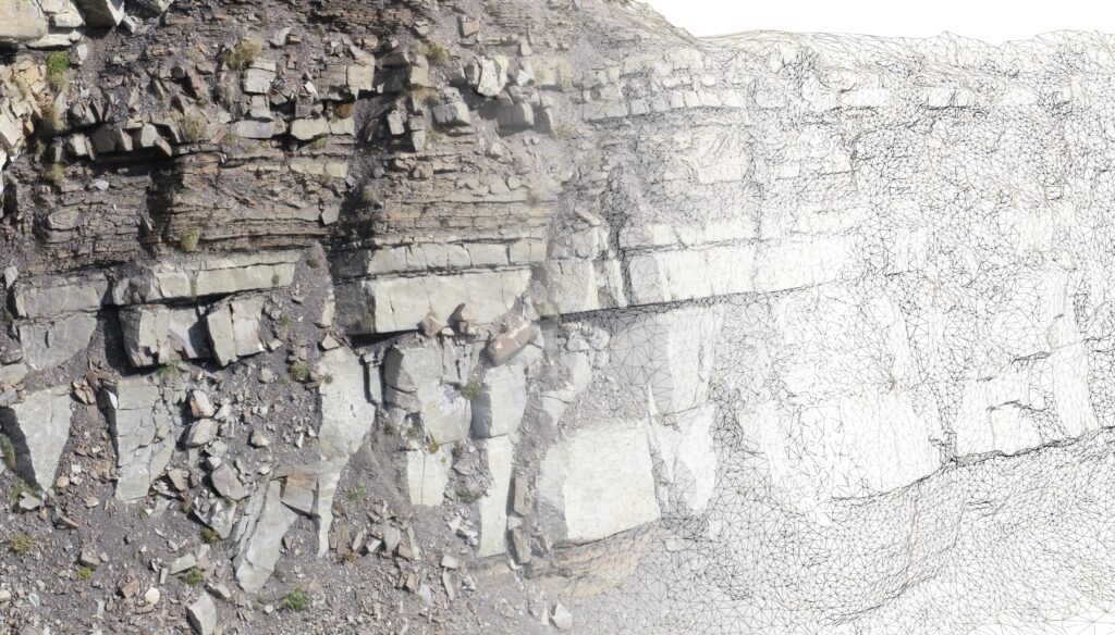
FjellDrone provides professional and experienced drone piloting and 3D modelling services for your project.
With 5 years of industry experience in photogrammetry, remote sensing and GIS, FjellDrone has a variety of custom-made tools and techniques dedicated to handling and processing large drone and map based datasets.
Experienced in Drones and Data

Prepared for the next adventure
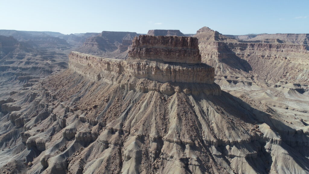
After climbing mountains in the French Alps, crossing the Utah deserts and strolling across Portugese beaches, FjellDrone has the experience to prepare for the next expedition.
Flying drones is a great way to collect data of hard to reach or inaccessible locations and with license to fly in the Specific Category, FjellDrone has the authorisation to fly in riskier operations for commercial purposes anywhere in the EU/EEA and in many other countries around the world.

Ready to collaborate on your project
The world of drones is constantly developing and people are still discovering new applications.
This means FjellDrone has to be ready for any challenge and this is why FjellDrone has the competence to customise skills to the requirements of your application on long or short term projects.

The Photogrammetric Flow
Every 3D model is different and each locations requires a different approach in how to acquire and process the data. It all depends on the scale and conditions of the site as well as the requirements set by the end-user.
Here is a generalised flow of how the photogrammetric process works:

Want to find out more about what FjellDrone can do for your project?