Services
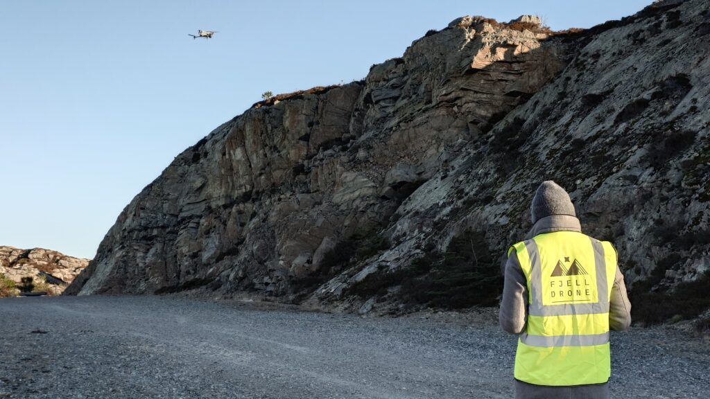
Drone services
Drones can be used to provide quick and effective data collection of large or inaccessible areas.
This makes them particularly useful for building inspections, 3D mapping and maintenance surveys. Additionallly, they create excellent marketing material with 4K videos and images.
Using drones can not only save costs through their fast data collection, but the accuracy of the data ensures mistakes and delays in construction and maintenance are avoided.
FjellDrone has the experience to perform a wide variety of drone-based applications safely and effectively, provide licensed expertise on legal regulatioons and risk assessments, and give you that extra lift with high-quality marketing material!
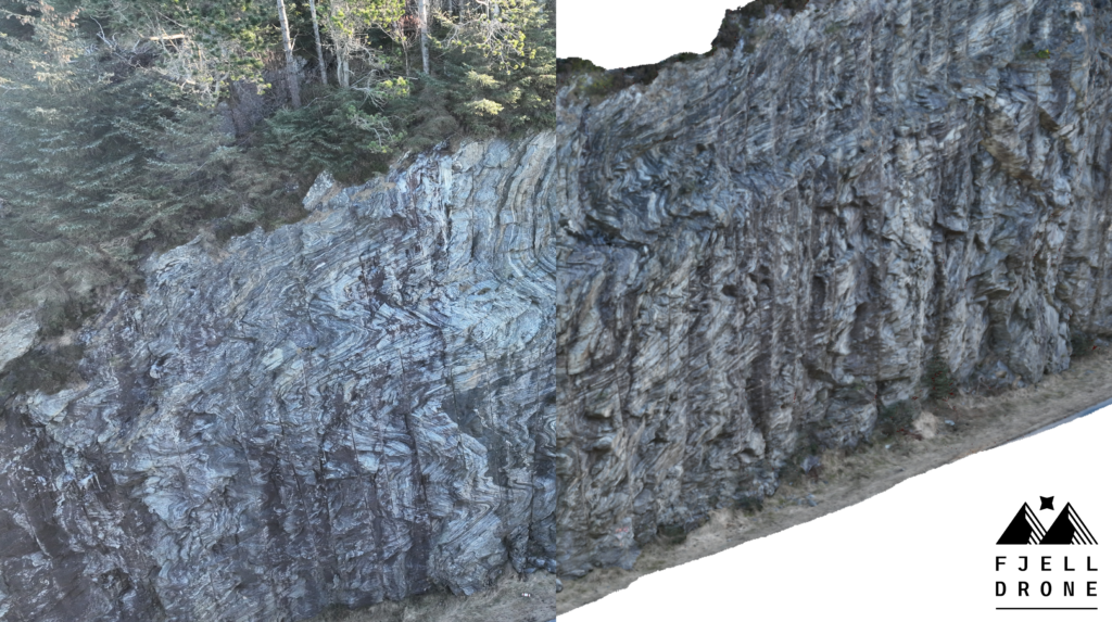
Photogrammetric 3D modelling
Getting the most out of your data is difficult. Blurry images, unnatural mesh/texture generation and inaccurate georeferencing can all lead your model not looking at all like reality.
FjellDrone helps you make the most out your data.
Having captured, processed and fixed issues with hundreds of 3D models, FjellDrone utilises a wide range of high-end software applications to help turn your data from an array of 2D images to a fully optimised, georeferenced 3D model.
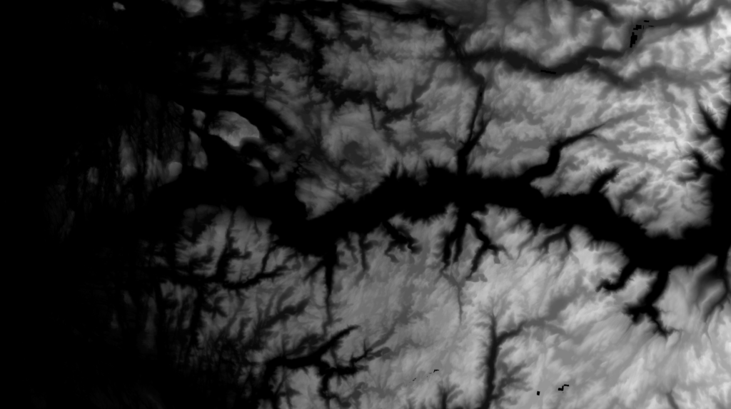
GIS and remote sensing support
Drone services and 3D models aren’t always useful in a vacuum.
Often, they are an integral part of a wider project to better understand, monitor and digitise a building, zone or landscape.
This is why FjellDrone also offers additional GIS and remote sensing support. This brings skills in geospatial analysis, satellite imagery processing and 3D modelling visualisation for large-scale projects in research, infrastructure and surveying, amongst many more.
These expertise also aid the mapping and modelling processes ensuring your data is accurate, precise and fully interoperable with everything else in your project.
Want to find out more about what FjellDrone can do for your project?